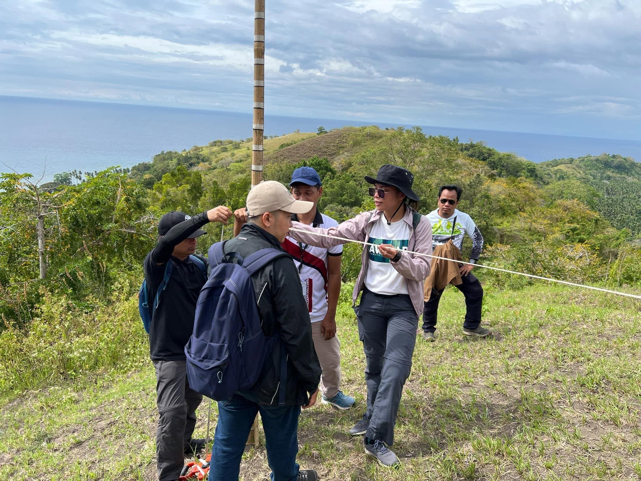
Through its research and extension initiatives, with funding support from the Ministry of Science and Technology (MOST-BARMM), MSU-Maguindanao provides community-based educational programmes and technical trainings on agroforestry, land assessment, and watershed management. These initiatives equip local residents, government personnel, and environmental stakeholders with practical knowledge and skills in sustainable agricultural land use, soil conservation, watershed protection, and the integration of livelihood activities with environmental management.
As part of these initiatives, the University conducted an Advanced Quantum Geographic Information System (QGIS) Application Training from February 5–7, 2025, at the Balay Silangan Reformation Center in Upi, Maguindanao del Norte. The activity gathered 23 participants from the local government units of South Upi and North Upi and the Ministry of Environment, Natural Resources, and Energy (MENRE-BARMM). The training covered land-use and land-cover classification, water quality mapping, terrain analysis, and landslide risk assessment. Through practical exercises, participants developed skills in using geospatial information to support environmental monitoring and informed land-use planning.
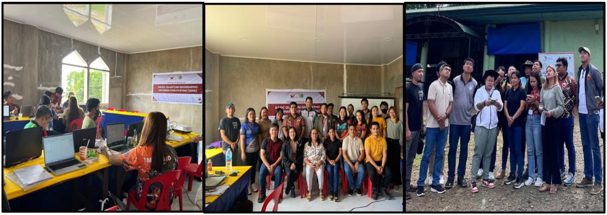
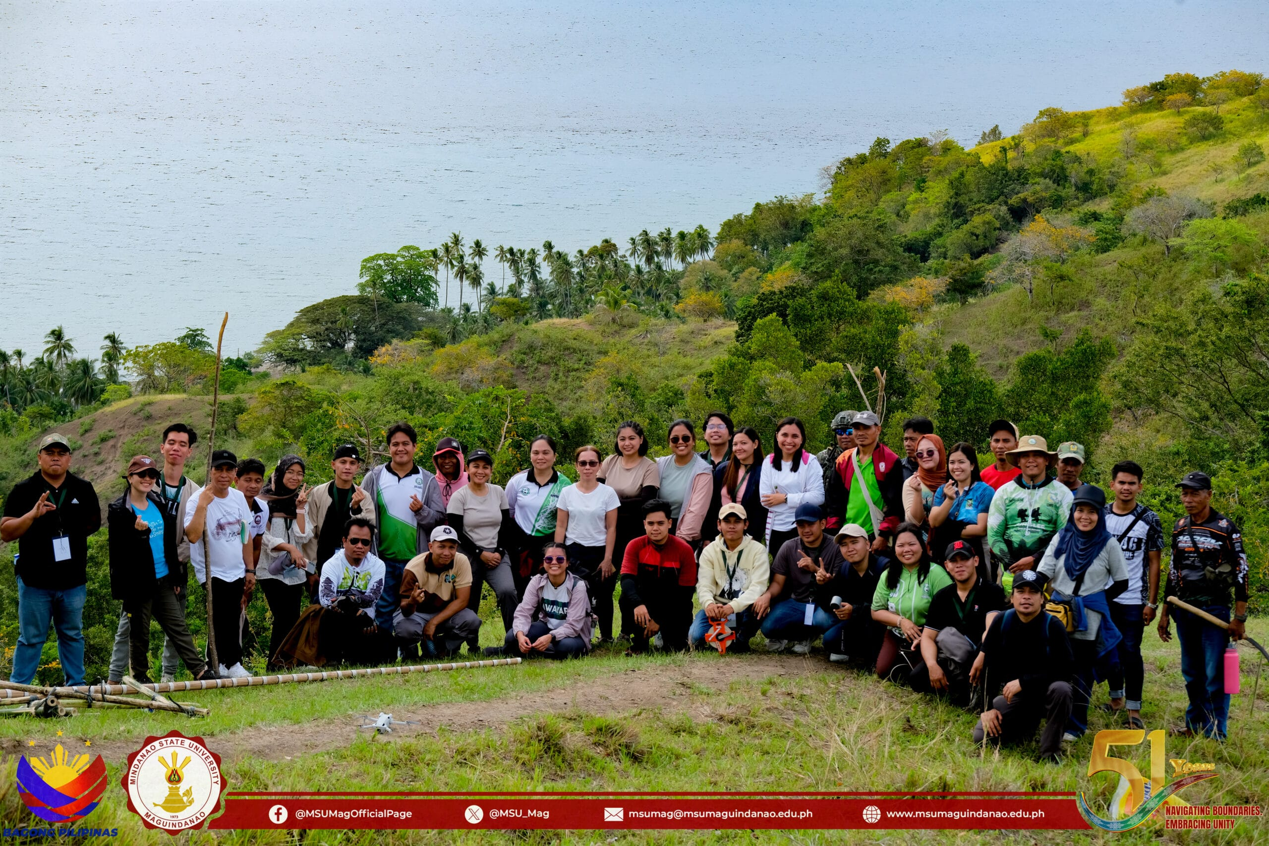
Photos taken during the Training-Workshop on Using QGIS Software for Basic and Intermediate Mapping held in Upi, Maguindanao del Norte on February 5-7, 2025
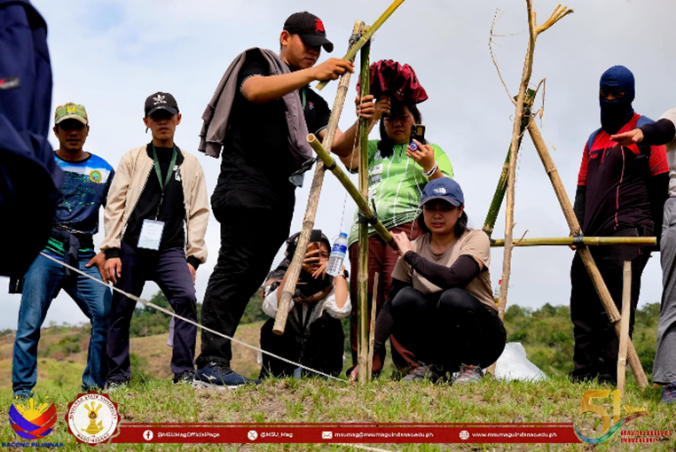
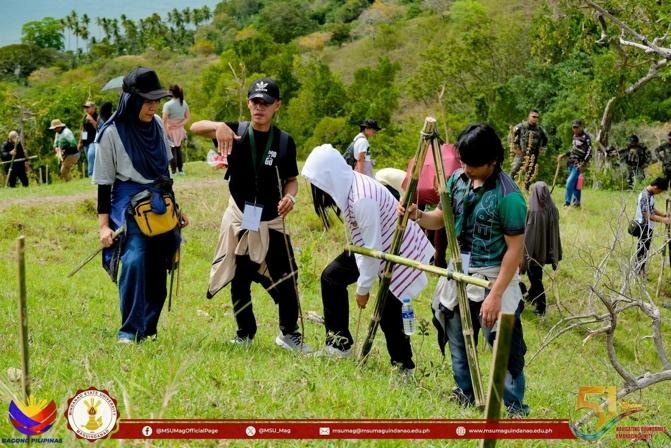
Another major activity was the Training on Agroforestry Establishment and Development: Leveraging Agroforestry Land Capability Assessment and Mapping Scheme (ALCAMS) for Effective Land Assessment and Livelihood Planning, held on June 9, 2025, at the Municipal Gymnasium in Barangay Romongaob, South Upi, Maguindanao del Sur. Thirty residents of South Upi participated in the training. The sessions covered Agroforestry 101 and Sloping Agricultural Land Technology, emphasizing appropriate land-use practices, contour farming, and soil conservation. Participants also engaged in practical exercises on land capability assessment, considering slope, soil type, and land classification, as well as soil testing to determine fertility and pH levels. A demonstration on wine-making using locally available fruits was also conducted to introduce a potential alternative livelihood activity.
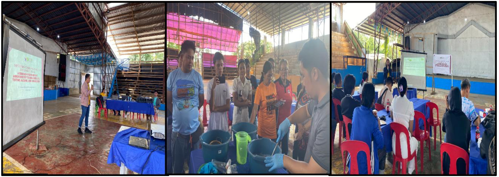
Training-workshop on Agroforestry Technologies, Soil Testing, ALCAMS, and Winemaking
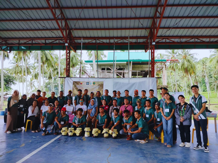
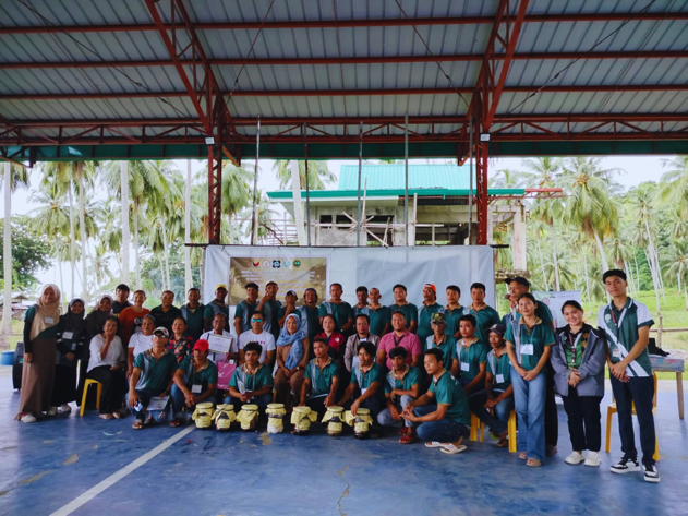
The University's educational initiatives also included a Workshop on the Formulation of the South Upi Forest Watershed for Enhanced Protection and Management Plan, conducted on July 29, 2025, at the South Upi Municipal Hall. The workshop brought together 16 representatives from municipal offices and barangays. Assistant Prof. Peter Jan D. de Vera, Research Director, presented research findings on land-use patterns, slope stability, water and soil quality, and the socioeconomic conditions of communities within the watershed. Participants identified priority environmental concerns, discussed appropriate interventions, and proposed strategies for forest and watershed protection. Their inputs contributed to the development of a management plan responsive to local environmental conditions and community needs.
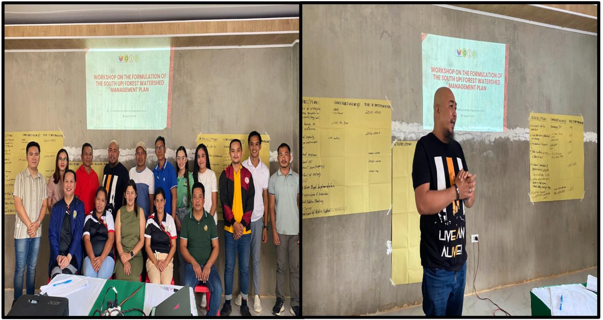
MSU-Maguindanao team with participants of the Workshop on the formulation of the South Upi Forest Watershed Management Plan held on July 29, 2025
These educational and community engagement activities were informed by the University's assessment of the South Upi Forest Watershed. The biological assessment recorded 22 tree species belonging to 12 families in the remaining forested areas. Among the documented species were five classified as Near Threatened, three as Vulnerable, three as Endangered, and one as Critically Endangered. The findings highlight the importance of protecting native tree populations and maintaining forest habitats through appropriate land management and conservation practices.
The research also identified concerns involving illegal logging, land conversion, and climate change, emphasizing the need for coordinated conservation efforts. Recommended interventions included community-based agroforestry programmes, reforestation, the establishment of watershed conservation zones, and the development of barangay model farms that integrate sustainable land management, biodiversity conservation, and livelihood activities.
The knowledge and practical skills developed through these activities provide local communities with approaches to managing agricultural lands while maintaining ecological integrity. Through agroforestry, contour farming, soil conservation, and appropriate land-use planning, participants gain practical guidance on improving land productivity, minimizing soil degradation, and integrating biodiversity conservation into agricultural practices. These approaches also offer opportunities to develop sustainable agricultural livelihoods while maintaining the environmental quality of surrounding landscapes.
Through these research and extension activities, MSU-Maguindanao demonstrates its continuing commitment to providing educational programmes and technical outreach to local communities and government partners on sustainable agricultural land management. By combining scientific research, practical training, and community participation, the University helps strengthen local capacities to manage agricultural resources responsibly, conserve watersheds, protect native vegetation, and promote sustainable land-based livelihoods.