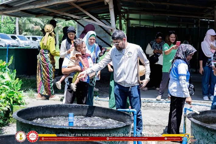
In 2025, MSU–Maguindanao offered free education on freshwater ecosystems to local governments, agencies, fisherfolk and students in Maguindanao del Norte and del Sur, covering river water sampling, the condition of major inland water bodies, and the mapping skills needed to manage water ecosystems. All of these activities were offered free of charge to participants.
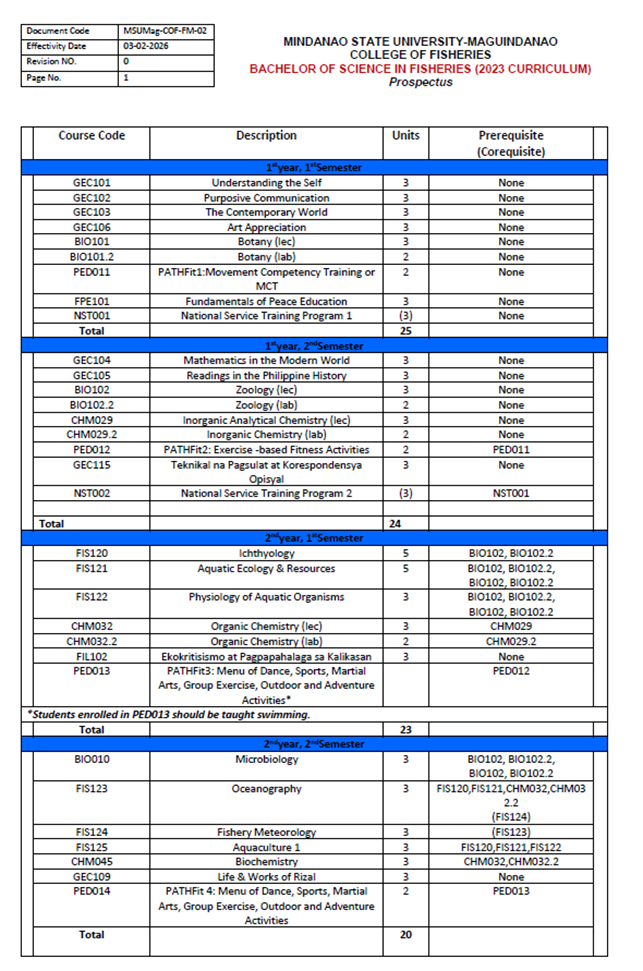
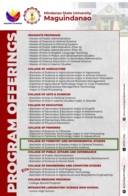
These activities and outreach programs are supported by the University’s degree programs in fisheries, aquaculture and agricultural water management, which develop the professionals who carry this knowledge into the field. The offering of the Bachelor of Science in Fisheries (BS Fisheries), with a curriculum totaling 180 units cover relevant areas such as aquatic ecology, capture fisheries, sustainable aquaculture, fisheries management, fish processing. The Bachelor of Science in Agricultural and Biosystems Engineering (BS ABE) covers irrigation and drainage engineering, hydrometeorology, and land and water conservation engineering. Likewise, the Bachelor of Science in Forestry and the Bachelor of Science in Environmental Studies provide guidance on watershed management, landslide susceptibility mapping, and ecosystem valuation. These degree programs prepare the professionals who carry the technical skills and knowledge into the communities.
Training local governments to monitor their rivers
On 30 June 2025, the faculty from Bachelor of Science in Forestry in partnership with the Ministry of Environment, Natural Resources, and Energy–Environmental Management Services (MENRE–EMS) of BARMM and the Local Government Unit (LGU) of Datu Odin Sinsuat (DOS) launched the Brar River Pilot Water Sampling Program. An orientation trained faculty members, students and LGU personnel in standardized water-sampling procedures and waterbody classification under the Philippine Clean Water Act (Republic Act No. 9275), giving local partners the skills to assess river conditions themselves.
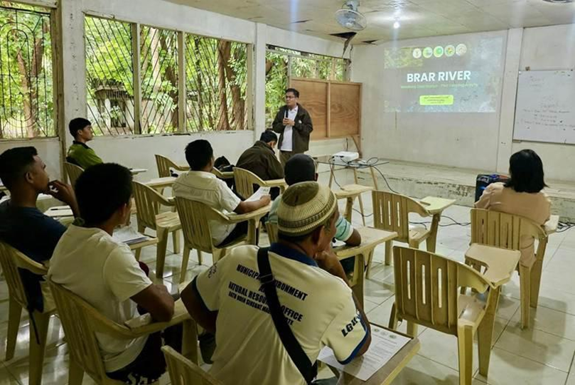
Orientation on standardized water-sampling procedures and waterbody classification for faculty, students and LGU personnel, 30 June 2025.
Sharing research on Mindanao’s inland waters
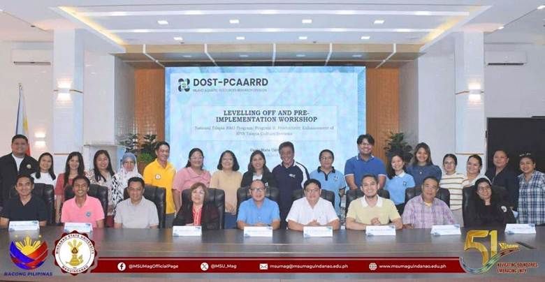
On 27 February 2025, MSU–Maguindanao convened a MinSuPala-IRDC stakeholder consultation with researchers from other state universities and colleges: University of Southern Mindanao-Kidapawan City Campus (USM-KCC), Cotabato State University (CotSU), and Adiong Memorial State College (AMSC), government agencies including Ministry of Agriculture, Fihseries and Agrarian Reform (MAFAR–BARMM), the Bangsamoro Planning and Development Authority (BPDA), Department of Science and Technology – Philippine Council for Agriculture, Aquatic and Natural Resources Research and Development (DOST–PCAARRD) and provincial environmental offices, local government units and fisherfolk associations. The stakeholders' meeting provided a plated for the researchers to present their assessments on water quality, fisheries, watershed conditions, and socio-economic factors affecting the critical water bodies such as Ligawasan Marsh, Lake Buluan, the Rio Grande de Mindanao, and Lake Lanao. The findings provide scientific data for policy-making and conservation strategies aimed at protecting these ecosystems while ensuring their socio-economic benefits for local communities.
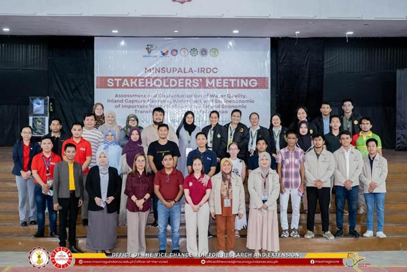
Bringing together experts and stakeholders during the Stakeholders' Consultation Meeting hosted by MSU–Maguindanao at the DOS Gymnasium, 27 February 2025.
Building watershed mapping skills
On 5–7 February 2025, the project team of the Ministry of Science and Technology (MOST)-funded project “Characterization of South Upi Forest Watershed cum Landslide Vulnerability Assessment: basis for enhanced protection and management plan" conducted the Application Training on Advanced Quantum Geographic Information System (QGIS) at the Balay Silangan Conference Hall in Nuro, Upi, for personnel of the Local Government Units of South Upi and North Upi and MENRE-BARMM. Participants learned to produce land use and land cover maps and to apply geospatial tools to watershed management and landslide vulnerability assessment.
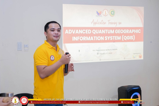
The Application Training on Advanced Quantum Geographic Information System (QGIS) guided the participants to develop susceptibility mapping and overlay analyses