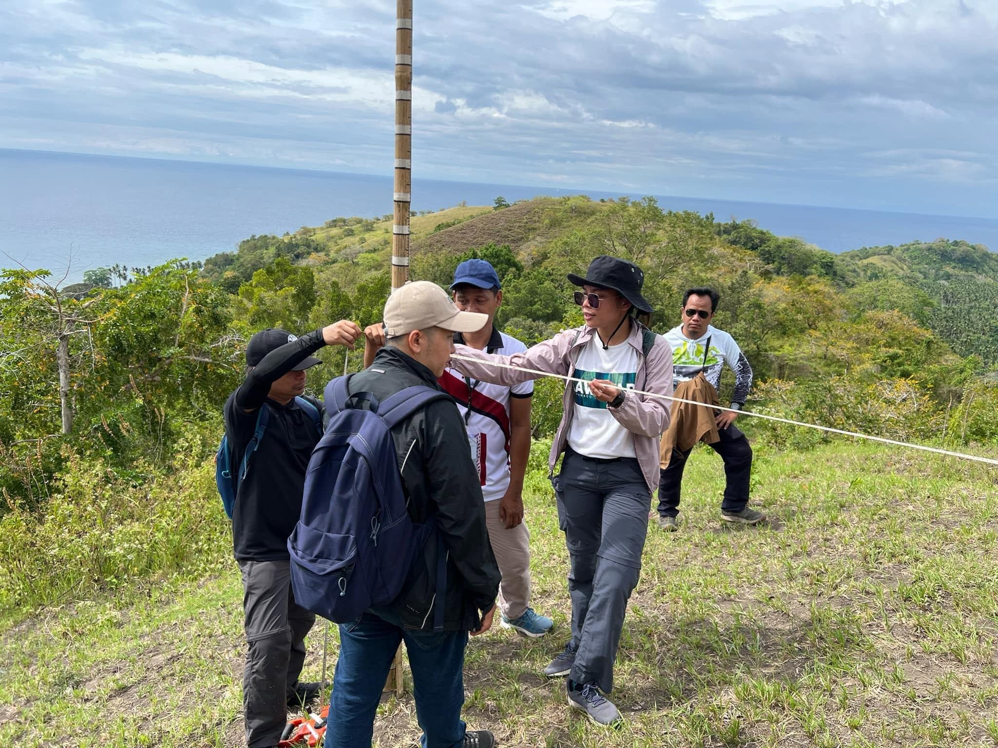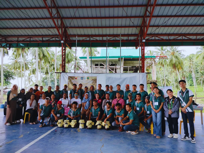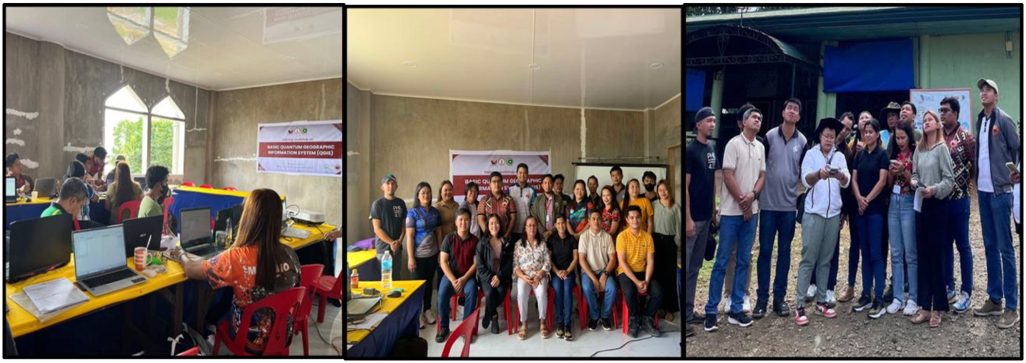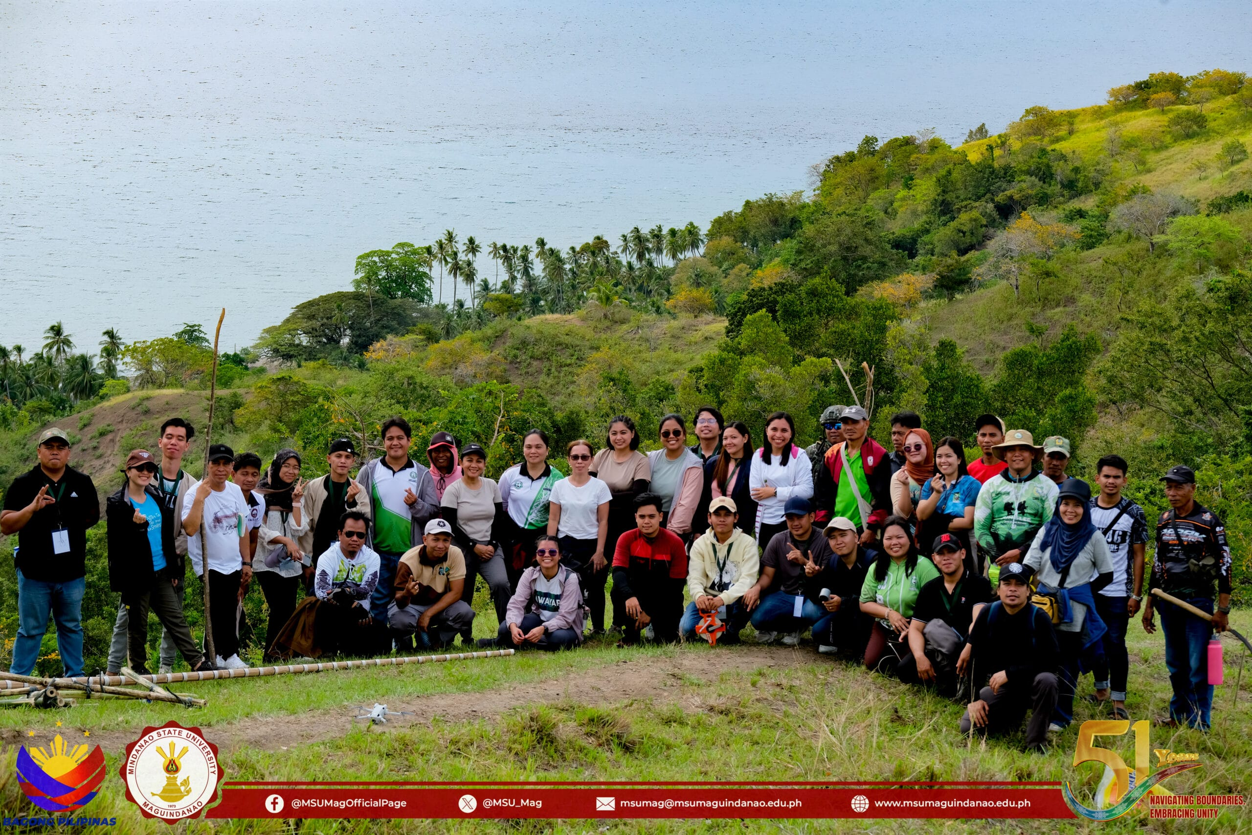
Farmers, landowners, and technical personnel spent three days learning to read slopes and map contours by hand, as Mindanao State University-Maguindanao (MSU-Maguindanao) and the University of the Philippines Los Baños Institute of Agroforestry (UPLB-IAF) conducted a Trainers' Training on Agroforestry Establishment and Development from February 25 to 27, 2025.

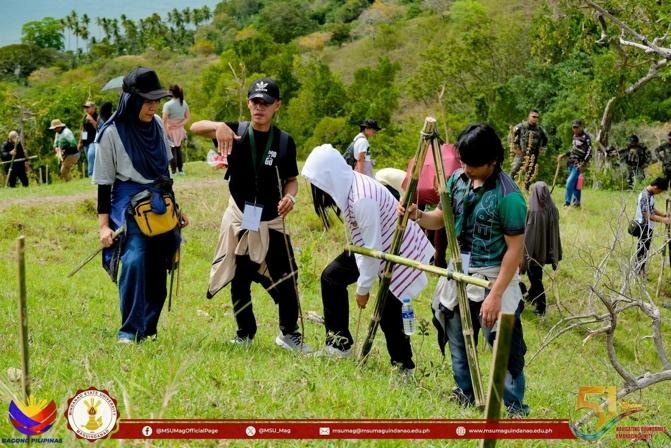
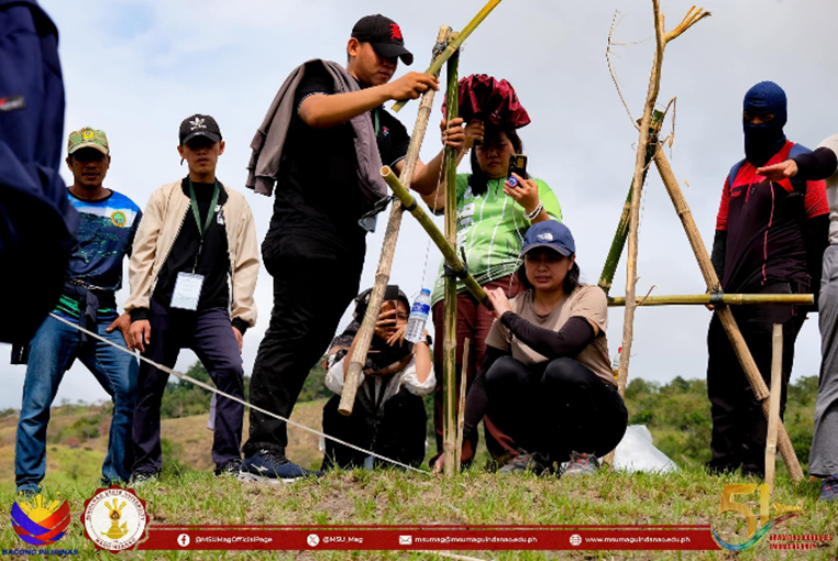
A trainee uses a bamboo A-frame and plumb line to trace contour lines on sloping farmland, a technique for slowing runoff and reducing soil erosion.
The training applied the Agroforestry Land Capability Assessment and Mapping Scheme (ALCAMS), covering land suitability assessment, slope determination, contour mapping, soil fertility testing, land-use observation, and agroforestry planning. Participants built and used A-frame contour-mapping equipment directly in the field, a low-cost tool that lets farmers trace contour lines by hand to guide erosion-control and planting decisions on sloping land, forming part of the broader Enhancing Climate Resilience through Native and Fruit Tree-Based Agroforestry Technology project led by Dr. Rowena C. Benavides of the College of Forestry and Environmental Studies (CFES) and funded by DOST-PCAARRD.
Protecting water resources starts with the land itself, and that is the deeper purpose behind this training: tracing contour lines along level ground slows runoff, reduces erosion, and helps rainwater infiltrate the soil instead of washing away, directly supporting efforts to protect and restore water-related ecosystems and conserve freshwater on Datu Blah Sinsuat's most vulnerable slopes. Farmers and landowners in Barangay Nalkan and across the municipality leave the training able to apply these water- and soil-conservation techniques on their own land, while MSU-Maguindanao faculty and students gain hands-on field experience they can carry into the project's continuing rehabilitation of an eventual 35 hectares of degraded and sloping land.
The training equips participants to complete re-entry action plans for their own areas, with MSU-Maguindanao and UPLB-IAF expecting the resulting contour maps and land assessments to guide where native and fruit trees are planted next, extending the project's soil and water conservation work deeper into Datu Blah Sinsuat's most vulnerable, sloping terrain.