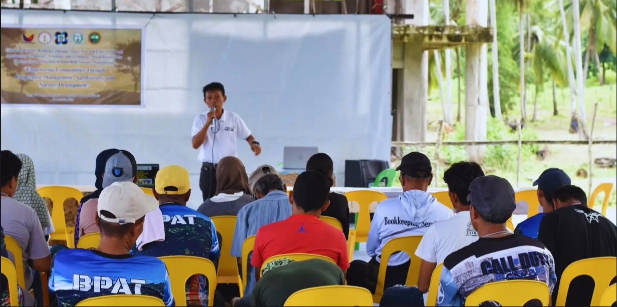
Cindy E. Poclis and six fellow researchers from the College of Forestry and Environmental Studies at Mindanao State University–Maguindanao published a study mapping land-use change in Dalican Poblacion, Datu Odin Sinsuat, in IOP Conference Series: Earth and Environmental Science (Volume 1553, 2025). Poclis and co-author Jayric F. Villareal also hold affiliations with Nanjing Forestry University in China.
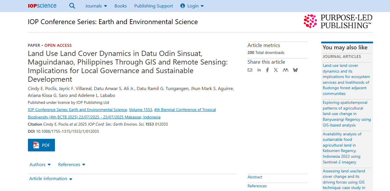
Published article, showing the authors’ affiliations with Mindanao State University–Maguindanao and Nanjing Forestry University, China.
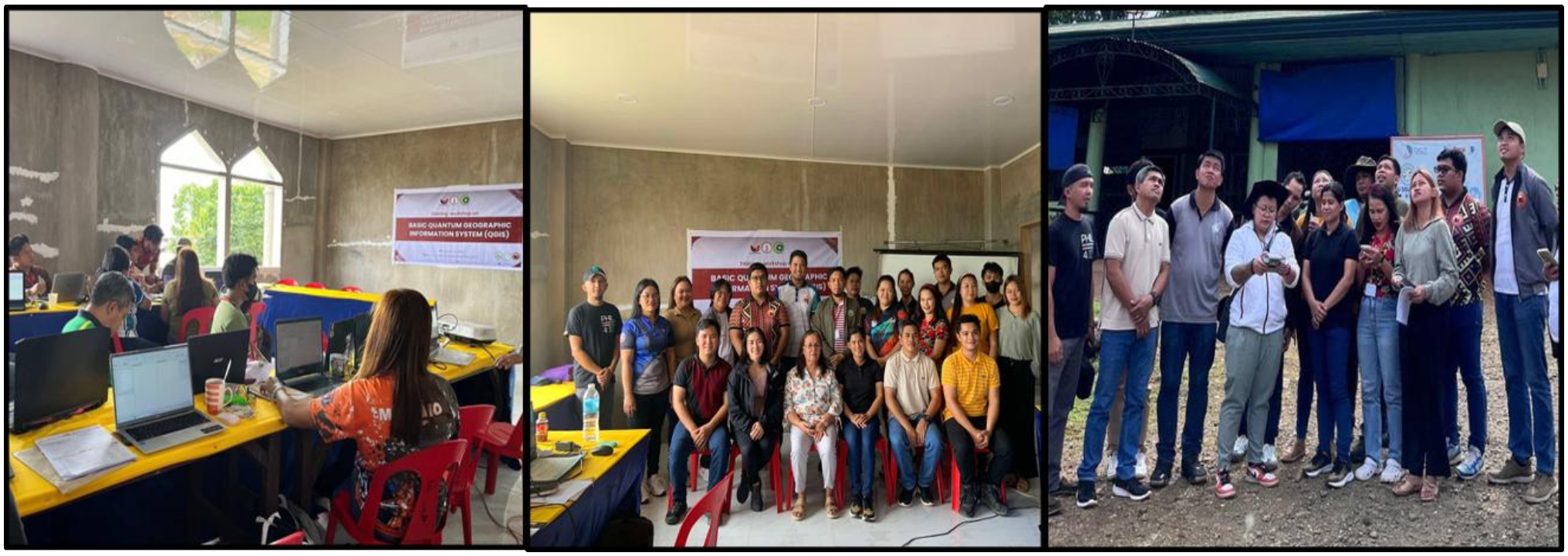
From January to May 2025, the team combined land cover maps and boundary data from the Ministry of Environment, Natural Resources and Energy (MENRE-BARMM) with Landsat 8/9 satellite imagery processed in QGIS to produce a new 2025 land use map, and interviewed barangay officials on zoning and environmental compliance.
Across the 452.17-hectare study area, perennial crops declined by 21.36 hectares between 2010 and 2020 while built-up areas expanded. The 2025 map now gives the local government a planning baseline, and the researchers recommend regular satellite-based monitoring and stronger community participation in land-use decisions.
Through international research collaboration and the use of regional government data, the study strengthens cooperation on science, technology, and knowledge sharing across borders, while supporting participatory, sustainable land-use planning and the sustainable use of terrestrial ecosystems.